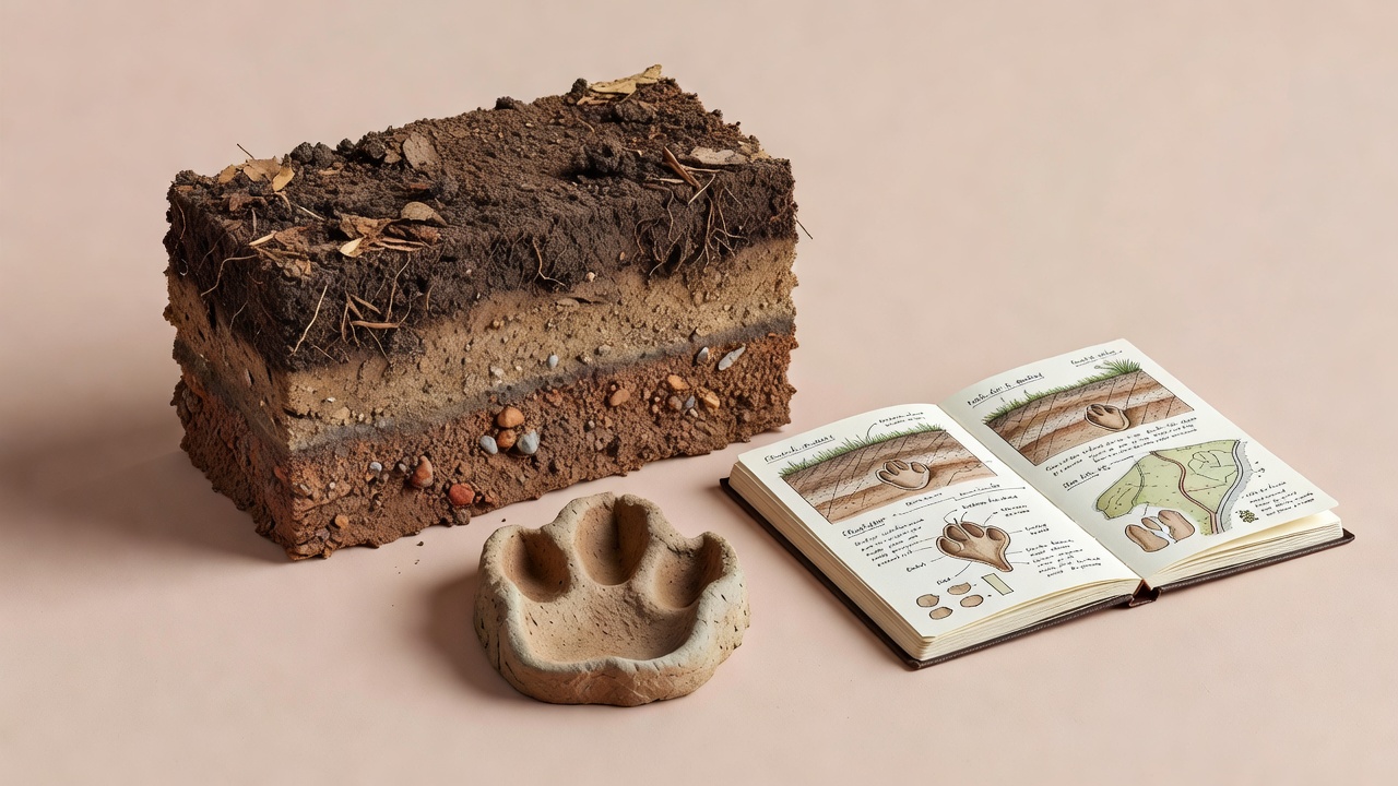
Describe a place at useful scales
Start with the immediate surface under the evidence: fine mud, loose sand, leaf litter or compacted gravel. Then widen the view to the surrounding patch, such as a reed edge, woodland clearing or grazed grassland. Finally consider connections to nearby water, cover and open land. Each scale answers a different question, and none should be substituted for the others.
Use descriptive language when a formal habitat classification is outside your experience. “Shallow standing water beside tall emergent plants” can be more useful than an uncertain technical label. Note whether a feature is directly visible or inferred from a map. A mapped stream may be dry on the day you visit, while a temporary pool may not appear on the map at all.
Let the surface explain the sign
Substrate influences what survives. Damp, fine sediment may preserve detail that coarse gravel cannot, but it can also slump after the animal passes. Wind-blown sand can fill a print, and thawing snow can distort its proportions. Describe the condition around an impression, not just the impression itself.
Look for comparable disturbances nearby. Rain marks, falling drops and human footprints may help you recognise how the surface is changing. They do not provide a reliable timestamp on their own. Avoid pressing a test print beside wildlife evidence on fragile ground. A photograph and a written description are often sufficient to document the uncertainty.
Vegetation can hide tracks without preventing animal movement. A route with few visible prints is not necessarily less used than a bare, muddy route. Differences in evidence preservation can create a false picture of where animals spend their time.
Read edges without assuming ownership
Boundaries between cover and open ground may bring several resources close together. A hedgerow, wetland margin or woodland edge can provide shelter near feeding opportunities. Observe these connections from a lawful path, but avoid treating every narrow trail as proof of a particular species. People, livestock and multiple wild species can share the same passage.
Habitat suitability changes the plausibility of an identification; it does not confirm it. An animal can move through an unusual setting, and familiar habitat can contain an unexpected visitor. Use habitat to ask better questions: which locally occurring species fit the evidence, and which visible features would distinguish them?
Separate three statements
Observed: shallow prints cross damp ground beside dense vegetation.
Context: the margin offers cover near water.
Unresolved: the track maker and purpose of the crossing.
Add season, water and disturbance
A habitat description is a snapshot. Leaf cover, water level, flowering, grazing and recent management can alter both wildlife use and your ability to detect it. Record visible conditions rather than assuming a normal seasonal state. A dry winter or a recently cut field can make an otherwise familiar site behave differently.
Distinguish tides from weather-driven water changes when you have the relevant information. At coastal places such as Point Reyes National Seashore or the Wadden Sea, access and bird use can change with water level. Consult local tide information and safety advice rather than following wildlife onto exposed ground. Inland wetlands have their own hazards, including deep mud and unstable banks.
Record human activity without leaping to a cause-and-effect conclusion. A busy path and fewer sightings may be associated, but vegetation, weather or observation effort could also explain the difference. Comparing repeated visits helps, provided you remain within site rules and do not increase pressure on a sensitive area.
Share context, protect location
A public fieldnote often needs only a broad habitat and a general region. Avoid exact coordinates, nesting landmarks, den entrances and recognisable approach routes. Remove embedded location metadata from images before sharing, and remember that a distinctive skyline or sign can reveal a site even after coordinates are removed.
For legitimate conservation recording, precise data may be useful through a trusted project with appropriate access controls. Check the project’s current privacy settings and sensitive-species policy before submitting. Obscuring a public map point is not a guarantee that every recipient, export or associated photograph hides the location.
Conservation also depends on connected habitat, not just celebrated sightings. The Convention on Wetlands, IUCN Red List and GBIF provide broader context, but their maps and categories should not be treated as real-time local inventories. Use them to frame questions, then keep your own observation limited to what you actually recorded.